Site Assessment Software for Solar
Know the Site Before You Design It
Capture precise topographic, visual, and environmental data on your site—feeding it straight into your design software, so feasibility and layout are right the first time.
 4.9 customer rating
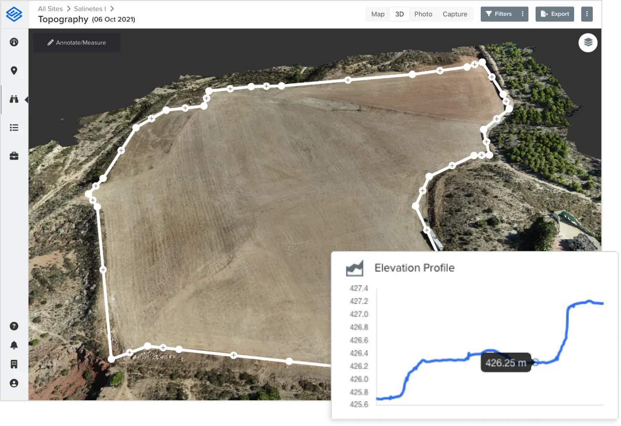
Trusted by 1,300+ companies across 100+ countries
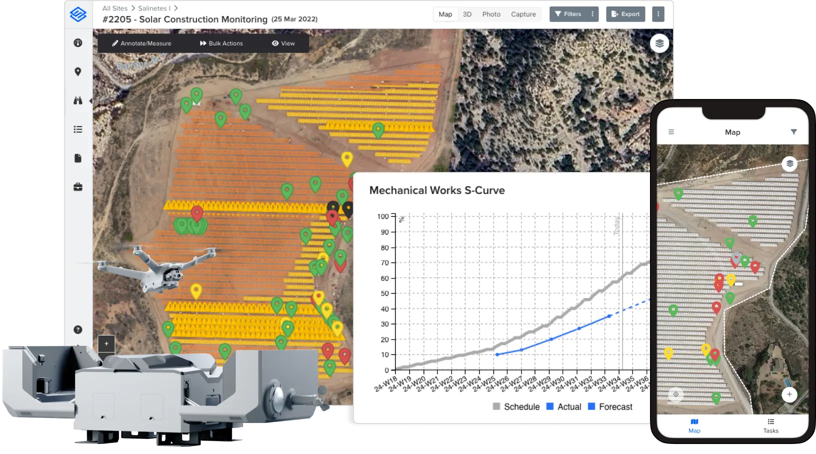
Accurate Site Surveys with Drones and On-Site Inspections
Collect topographic, visual, and environmental data to assess site conditions before breaking ground.
- Conduct high-resolution aerial surveys for terrain mapping
- Use mobile workflows for on-site environmental and feasibility checks
- Identify potential risks, constraints, and land use issues early
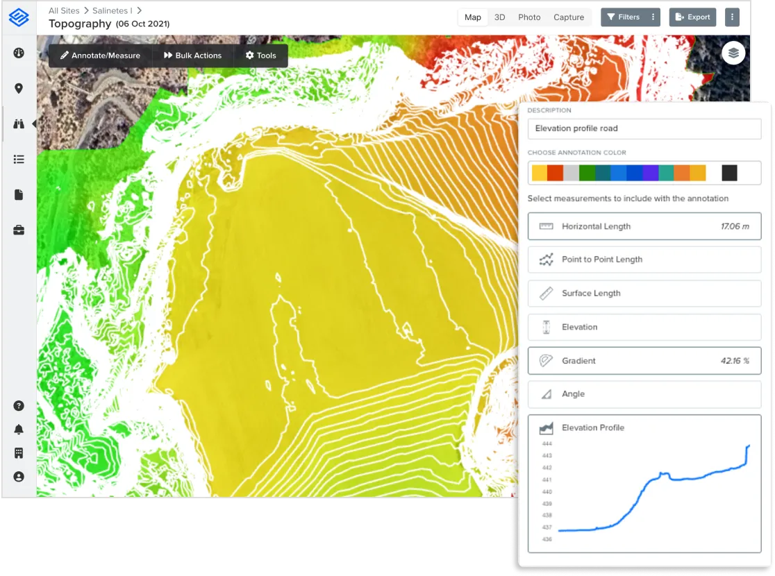
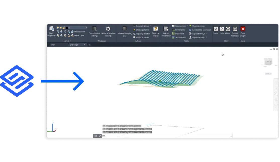
Optimize Design with High-Precision Topographic Data
Leverage accurate terrain models and elevation data to create optimized system designs.
- Export data to popular design software such as PVsyst, Helios 3D, Virto Solar, RatedPower and PVcase
- Generate shading objects, elevation profiles, and ground grading insights
- Improve layout accuracy and energy yield predictions with precise site data
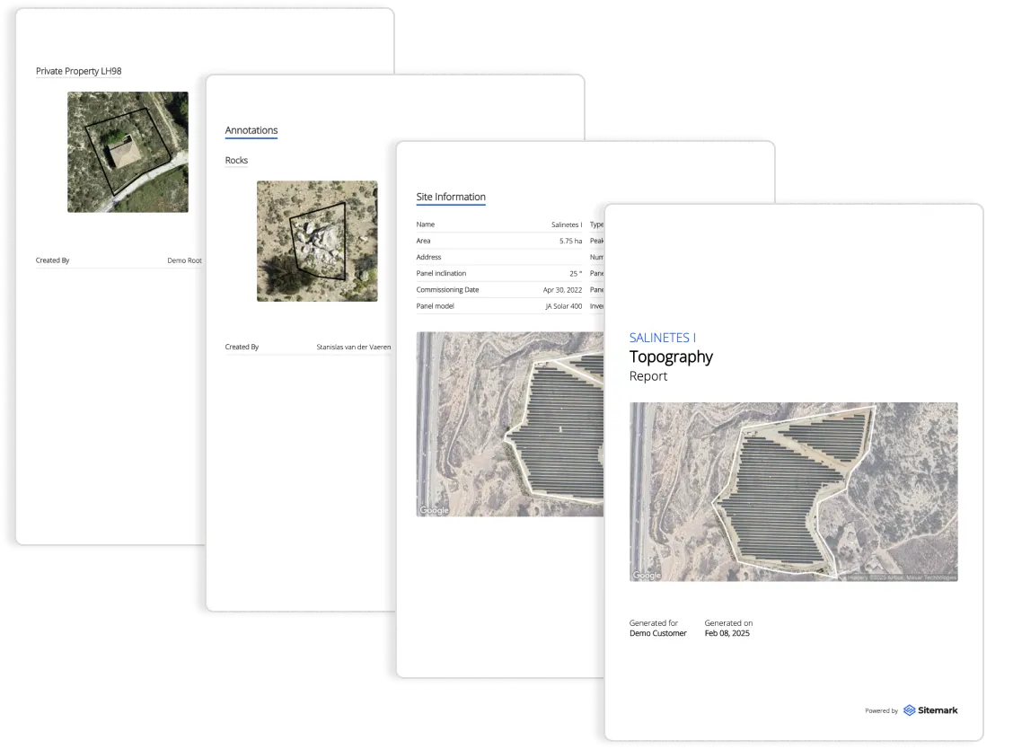
Automated Reporting and Project Documentation
Turn raw site data into actionable insights and structured reports for stakeholders.
- Maintain a digital record of all site assessment data
- Share findings instantly with project teams and investors
Sitemark covers every stage of renewable energy projects

Join the future of managing renewable energy
Our team is ready to answer your questions and show you Sitemark first-hand.